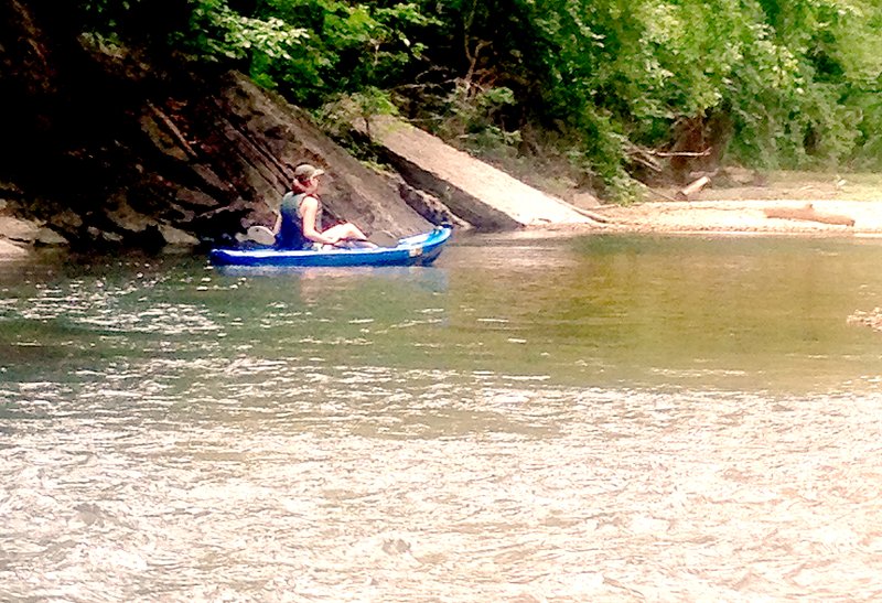
While it's not the best place to float, Little Sugar Creek is a classic spring-fed Ozark creek, said Dave Barfield, a member of the Little Sugar Creek Stream Team.
It will never be as popular as the Elk River, but if people don't mind "dragging" their canoes in a few places, Little Sugar Creek from the dam at Lake Bella Vista to the state line can be a pretty place to float and fish. In order to make it easier for people to access, Barfield and the rest of the team are working on making it a recognized water trail.
The state's Game and Fish Commission recognizes water trails, Darrell Bowman, the Property Owners Association's lakes ecologist, told the POA Board at its work session Aug. 14. Bowman is also a member of the Stream Team, and the group wanted to let the board know about its progress.
There are nine water trails already established in the state, Bowman said. They are listed on the Arkansas Game and Fish website, which can be accessed via this shortened URL -- http://bit.ly/1BClrtI. The site also contains written descriptions, directions and maps of each trail.
Guy Headland, a landscape architect who works for the National Park Service, is working with the Stream Team, Bowman said. With Headland's help, the team has produced maps that show possible locations of three access points.
Most of the land they are considering is owned by Cooper Communities, but so far they haven't contacted the company to ask about using the space. That will come soon, Barfield promised.
The first spot is just north of the Lake Bella Vista dam, he said. There are already trails that lead down to the creek near Dartmoor Bridge, Bowman said. Parking is already available near the dam too.
The middle section is actually seven miles from the put-in spot, he said. The committee looked at several spots near Town Center, including an area off of Dogwood Road that some people have already been using.
The problem with Dogwood Road, Barfield explained after the meeting, is that residents who live there have been complaining about the parked cars. With the golf course nearby, an access area might be unwelcome.
A second choice for the middle access is just past the bridge on Lancashire Road. Headland's drawing shows a short driveway leading to a parking area. It would be a one-way drive, Bowman said, with a second driveway to exit the area.
There's also a spot that is already being used at the end of the water trail, just south of the Missouri state line. It's behind the Bella Vista Animal Shelter, Bowman said, and there's room for parking. The team is also considering a spot just over the state line, and there have been some discussions with representatives of Missouri.
Some of the parking areas will be located a short distance from the creek, Barfield said, and that's OK. The creek can't handle a large amount of traffic, so he's happy to require that extra effort to keep the numbers down. The parking areas will hold only three or four cars at a time, but often floaters use their parking spot only to put a boat in. Someone is left on land to move the car to the end of the float and meet the paddlers there.
Having people on the creek will help keep the creeks clean, Bowman said, and the Game and Fish Commission will be able to enforce laws if that becomes necessary.
The next step is public meetings, similar to ones held by the proponents of hiking and biking trails.
The water trails and the hiking and biking trails really aren't connected, Barfield explained, although they may be very close together in spots. They could even share some parking.
Sports on 08/27/2014